
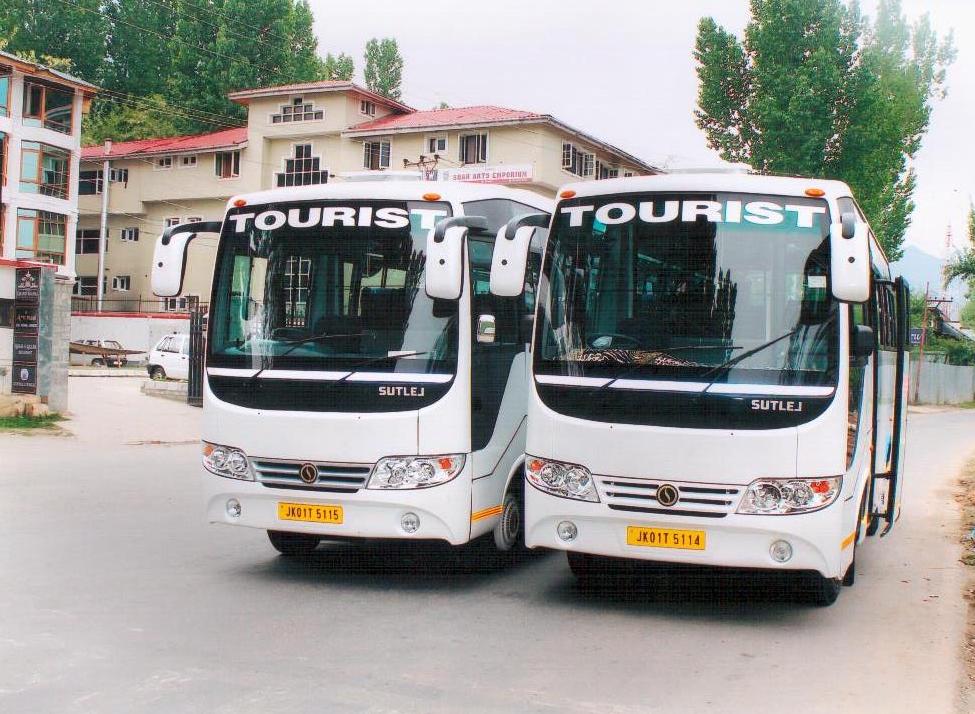


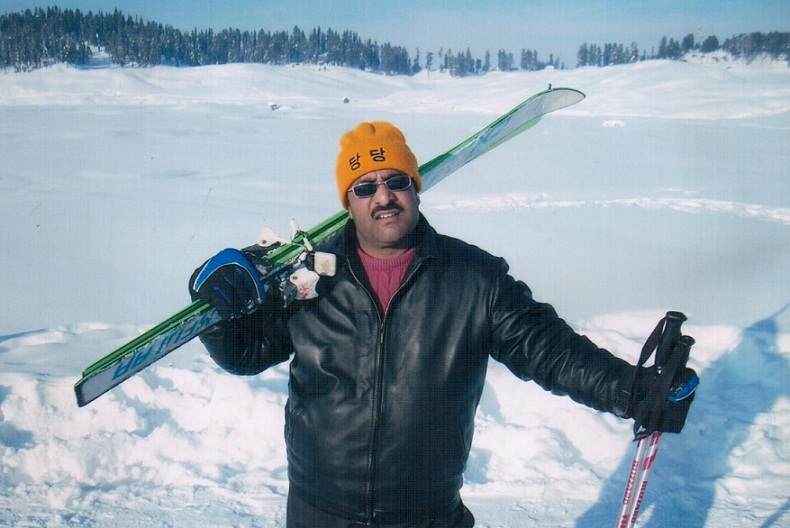
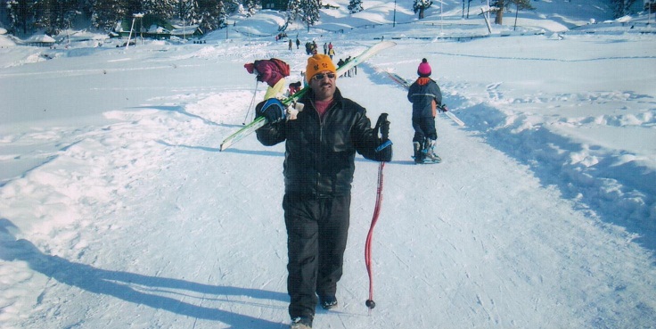


Ladakh Tour Places
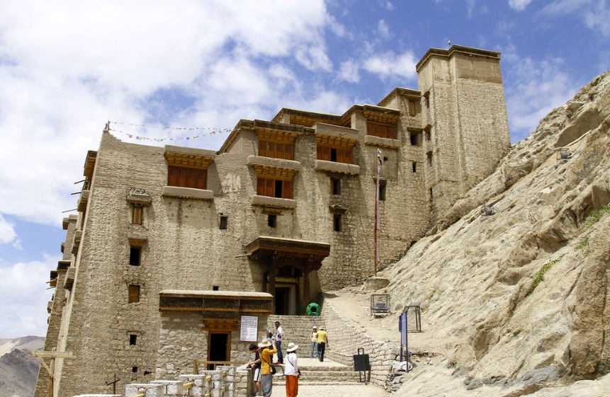
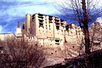
About Leh
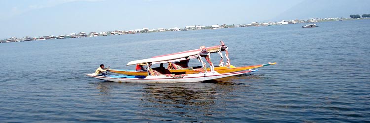
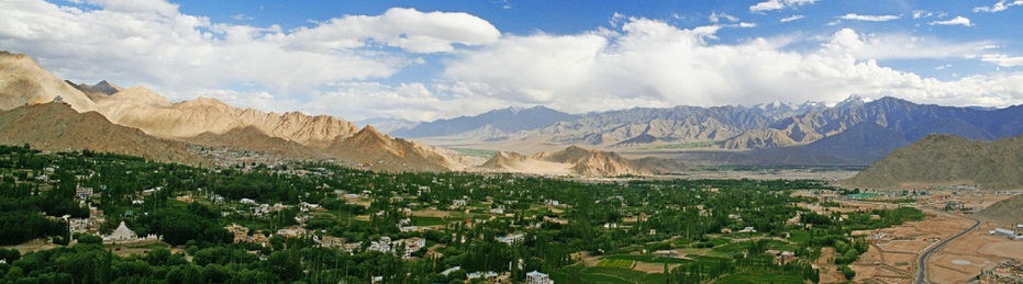
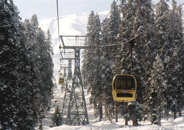
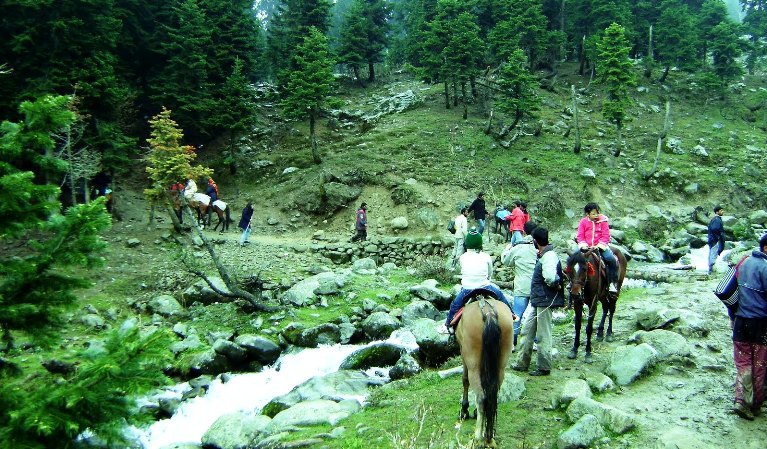
Ladakh, a part of Jammu & Kashmir State in north of India consisting of two districts Leh and Kargil. At a distance of 434 kms from Srinagar and 474 kms from Manali, Leh is situated on the banks of the river Indus, at a height of 11,000 feet. The land of majestic mountains, Leh is a complete beauty in itself. Leh has quite a few amazing places to offer its tourists.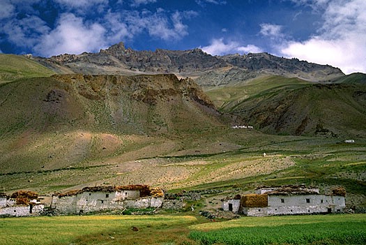 The most striking sight of Leh is the group of women, traditionally attired, selling fruits, vegetables and household articles, spinning and knitting, and exchanging gentle banter between themselves and with passers-by. Leh airport is Ladakh's only link with the outside world for the seven months of the year. Leh is one most frequented destinations for the trekkers in India. Rumbak and Markha offer exciting treks, while Stok Kangri is the best for a climb. One can also go for boating and river running on the Indus.
Drass
The town of Drass, 60 km west of Kargil on the road to Srinagar, is located at an altitude of 3,300 m in a relatively flat and open space in the centre of a valley.
The town of Drass, 60 km west of Kargil on the road to Srinagar, is located at an altitude of 3,300 m in a relatively flat and open space in the centre of a valley. It has extensive willow groves along the river. In winter it is covered with a thick blanket of snow.
 Drass experiences the lowest temperatures in the Ladakh valley and is said to be the second coldest inhabited place in Asia. The mercury may drop to as low as 40 degrees Celsius below freezing point, and communication with the outside world is often completely cut off. During the spring and summer, however, the valley around the township becomes very picturesque as the gently undulating hillsides turn into lush green pastures splashed with a variety of fragrant wild flowers.
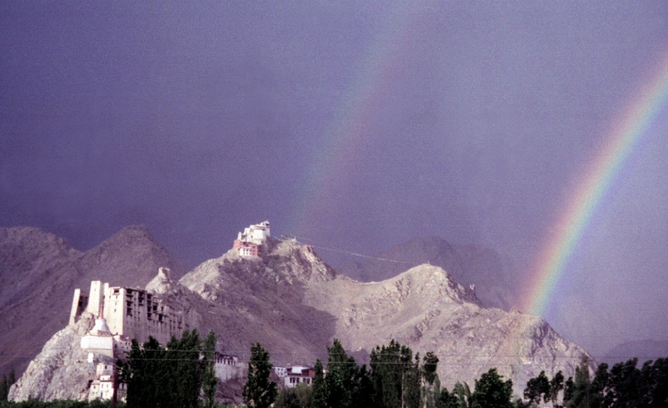
Kargil
This region once formed part of the erstwhile kingdom of Ladakh. In fact, it was the first to be inhabited by the early colonists of Ladakh - the Indo-Aryan Mons,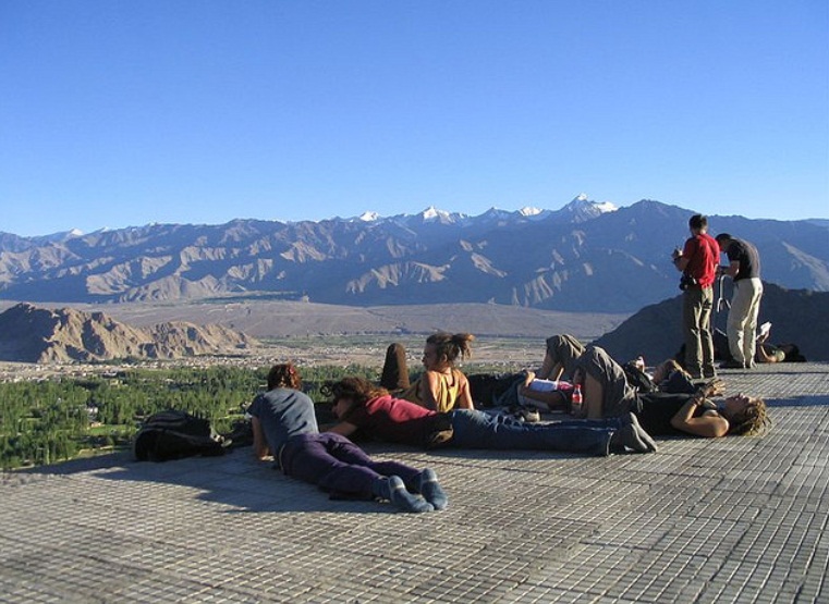 the Dards of Central Asia and itinerant Tibetans. Also, its valleys, by virtue of their proximity to Kashmir, Kishtwar, Kulu and Gilgit-Baltistan served as the initial receptacle of the cultural waves and ethnic movements that emanated from across the Greater Himalayan wall.
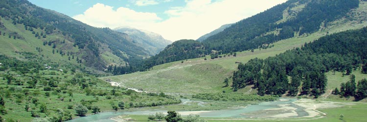
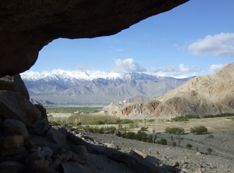
 As the area receives abundant water from rivers originating in the Greater Himalaya, the undergrowth here is more luxuriant than in eastern Ladakh. The upper Suru valley, in particular, is famous for its grassland, which attracts a large number of Bakarwal herdsmen from the Jammu hills.
Zanskar
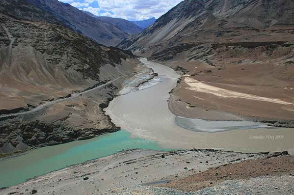
As the Zanskar road winds down the steep slopes of Penzi-la to the head of the Stod valley, the majestic " Drang-Drung" glacier looms into full view. A long and winding river of ice and snow, "Drang-Drung" is perhaps the largest glacier in Ladakh, outside the Siachen formation. It is from the cliff-like snout of this extensive glacier that the Stod or Doda tributary of the Zanskar River rises.
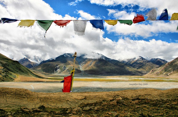
 Zanskar is a tri-armed valley system situated between the Great Himalayan Range and the Zanskar mountains, the three arms radiating star-like towards the west, north and south from a wide central expanse. Here the Zanskar River comes into being by the confluence of its two Himalayan tributaries, the Stod/Doda and the Lingti-Tsarap rivers. It is mainly along the course of this valley system that the regions approximately 14,000 strong, mainly Buddhist population, live.Just click to explore divineholidays.net.
 Award of Excellence By Tourism Minister

Connect With Us